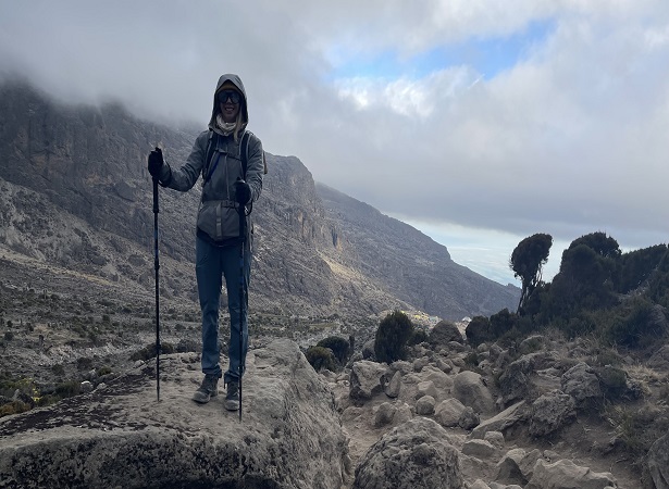
9 DAYS KILIMANJARO LEMOSHO ROUTE
The 9 day Lemosho variation is preferred over the 8 day option because it breaks up day two into two days, providing better acclimatization and a more gradual ascent. On the seven day route, we walk from Forest Camp to Shira Camp 1 on day two, a reasonable altitude gain of 2,000 feet. Then on day three, we continue from Shira Camp 2 to the little used Moir Hut, at 13,800 feet. Overall the exposure to this altitude will help prepare the body for higher altitudes coming on the following days.
Detailed Itinerary Lemosho – 9 days:
Day 0: Arrival
Upon your arrival at Kilimanjaro International Airport, you will be met with our ground handling team and after greetings and introduction you will be transferred to your delightful accommodation in Arusha/Moshi for evening rest and overnight.
Day 1: Transfer to Lemosho gate + Trek from Lemosho gate to Big Tree Camp
Wake up early and after breakfast and briefings board a transfer car to the start point of your hike which will take us around 3hrs. After completing the necessary registration formalities at Londorossi gate, we drive through varied farmland with open views over the plains to reach the Lemosho road-head. We often have our lunch before starting to walk. It is an easy day of walking up a small path through beautiful and bush forest. We camp at Lemosho Big Tree Camp (2,650 m); [2-3 hours walking]
Day 2: Big Tree Camp to Shira One Camp
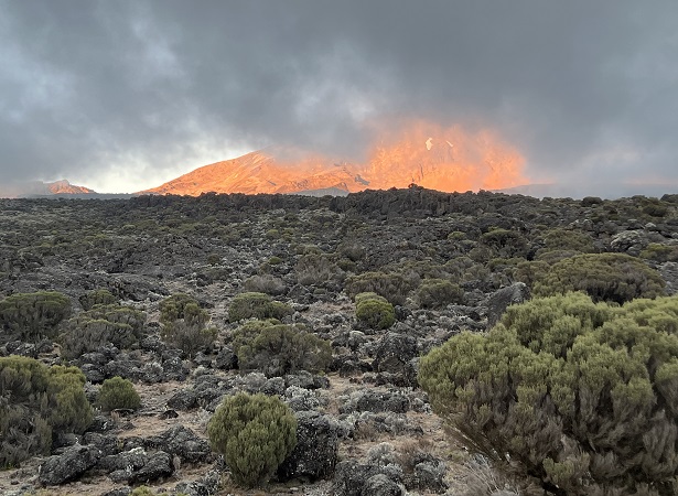
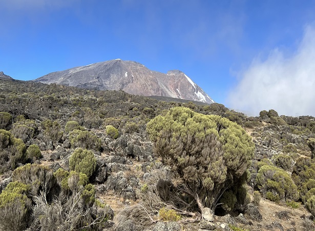
We soon leave the forest behind and enter the moorland zone of giant heather. The trail climbs steadily with wide views to reach the rim of the Shira Plateau. There is a tangible sense of wilderness, especially if afternoon mists come in! We camp in the centre of the plateau at “Shira One” (3,550 m). [6-7 hours walking]
Day 3: Shira One Camp to Shira Two Camp
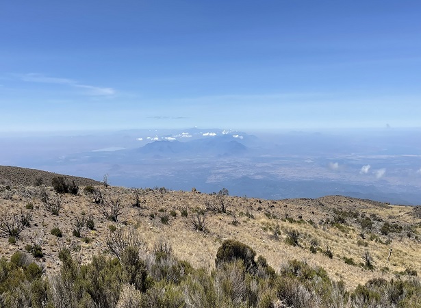
We walk to the summit of Shira Cathedral before reaching the next camp at Shira 2 camp (3,840 m). This campsite has stunning views, close to the glaciated dome of Kibo and the jagged rim of Shira Plateau. The views from here of Mt. Meru floating on the clouds are simply unforgettable. [3-6 hours walking]
Day 4: Shira 2 to Moir Hut
In the morning we cross part of the plateau heading north to reach our campsite at Moir Hut (4,200m) for lunch. After which there is an excellent acclimatization walk up onto the Lent Hills, the summit of which is at 4,700 metres. [4-7 hours walking]
Day 5: Moir hut to Buffalo Camp
We climb out of the Moir Valley and take a short detour to reach the summit of Little Lent hill at 4,375 metres. After admiring the views, we return to the trail and head eastwards around the northern circuit trail. Here the trail passes through a field of rock slabs that clink as they are walked on. The final section of today’s walk undulates until reaching the location of Buffalo Camp (4,150m). At the camp there is a huge feeling of space as the Kenyan plains stretch out far below to the north. [4-7 hours walking]
Day 6: Buffalo camp to Third cave camp
From Buffalo Camp we climb up to the top of ‘Buffalo Ridge’ and drop down the other side to reach Pofu, nearby the is a small spring and some vegetation. The trail continues eastwards through a landscape that has increasingly sparse vegetation to eventually reach Third Cave Camp (3,900m). [5-7 hours walking]
Day 7: Third cave Camp to School hut camp
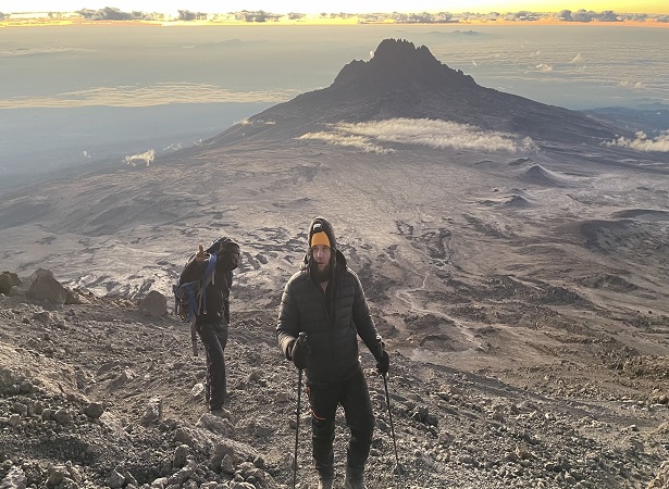
There is a steady ascent to reach The Saddle, a lunar landscape between the peaks of Kibo and Mawenzi. From here we continue upwards and reach School Hut Campsite (4,700m) in the early afternoon. The remainder of the afternoon is spent resting and preparing for the summit day. [4-5 hours walking]
Day 8: Uhuru peak summit + Descend to Millennium/Mweka camp
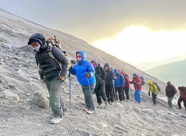
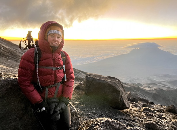
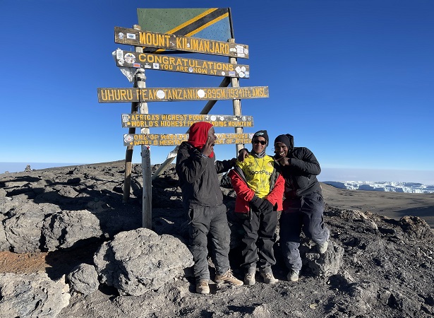
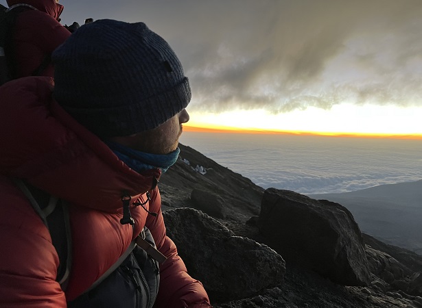
We will start our ascent by torchlight at about midnight so that we can be up on the Crater rim by sunrise. The steep climb over loose volcanic scree has some well-graded zig-zags and a slow but steady pace will take us to Gilmans Point (5,685 m) in about five or six hours. We will rest there for a short time to enjoy the sunrise over Mawenzi. The trail leads west along the crater rim to Uhuru Peak (5,896 m), passing close to the spectacular glaciers and ice cliffs that still occupy most of the summit area. We retrace our steps along the crater rim to Stella Point and then descends down through Barafu Camp to reach Millenium Camp (3,800 m). [11-15 hours walking]
Day 9: Descend from Millenium Camp to Mweka gate + Transfer back to hotel
A sustained descent on a well-constructed path through lovely tropical forest alive with birdsong and boasting lush undergrowth with considerable botanical interest. Our route winds down to the National Park gate at Mweka (1,650 m). Here we sign out from the national park before walking on for a further 15 minutes through coffee and banana farms to Mweka village where our vehicle awaits ready to transfer you back to your hotel. The shower, the beer, and the swimming pool are tantalisingly close! [4-6 hours walking]
The 9 day Lemosho variation is preferred over the 8 day option because it breaks up day two into two days, providing better acclimatization and a more gradual ascent. On the seven day route, we walk from Forest Camp to Shira Camp 1 on day two, a reasonable altitude gain of 2,000 feet. Then on day three, we continue from Shira Camp 2 to the little used Moir Hut, at 13,800 feet. Overall the exposure to this altitude will help prepare the body for higher altitudes coming on the following days.
However, the trek from Barranco to Barafu, followed by the summit day are unchanged from the six day Lemosho variation. This schedule is still very tough, though the extra day on the mountain on the seven day route will help climbers deal with the exhausting itinerary better than those who opted for the six day route.
Price Per Person in US Dollars
- $3,900 per person when Solo trekker
- $3,200 per person when 2 people treks together
- $3,100 per person when 3 people treks together
- $3,000 per person when 4 people treks together
- $2,900 per person when 5 people treks together
- $2,800 per person when 6+ people treks together
What’s Includes
- Transport from/to park gate & airport transfer
- Pre and post climb accommodation (B&B) in Moshi
- Park, camping & rescue fees
- Mountain tent & mattress
- Professional English speaking guide(s), porters & chef
- breakfasts, lunches and dinners
- Water; tea and coffee with meals
What’s not included
- Flights
- Lunch & dinner in Moshi
- Travel insurance
- Visa and passport fees
- Increases in park fees where applicable
- Personal equipment
- Sleeping bag
- Tips for guide(s), porters & cook
- Soda and Alcoholic beverage
Book the Tour
Related Kilimanjaro Tours
- From: $.3200
- From: $.2400
- From: $.2,600
- From: $.2800
- From: $.3,200
- From: $.2000
- From: $.2,500
- From: $.2700
- From: $.2800
- From: $.2300
- From: $.1300
Mount Kilimanjaro Climbing Routes
When it comes to embarking on a Kilimanjaro climbing expedition, choosing the right route is crucial for a successful and enjoyable experience. With several routes to choose from, each with its own characteristics and challenges, it’s important to consider various factors before making your decision. There are various routes to choose from when climbing Mount Kilimanjaro, each offering different landscapes, challenges, and experiences.
The Marangu Route is one of the most popular routes for those who want to trek to the top of Mount Kilimanjaro. Also known as the “Coca-Cola Route,” it is the only route that offers hut accommodations and is considered the easiest route. However, this also means that it can be crowded during peak season.
The Machame Route is also known as the “Whiskey Route” and is the most popular trekking route in Tanzania. It is a challenging route but also the most scenic due to the panoramic views of the Shira Plateau and the Western Breach. With its rocky terrain, trekking poles are highly recommended.
Rongai route ascends Mount Kilimanjaro from the north-eastern side of the mountain, along the border between Tanzania and Kenya. The rongai route retains a sense of unspoiled wilderness. The Rongai route is the only route that approaches Kilimanjaro from the north.
The Lemosho Route is the best way to climb Kilimanjaro and experience the breathtaking beauty of the mountain. With its numerous advantages, including scenic views, diverse flora and fauna, and a higher success rate, you can be sure of an unforgettable experience.
Kilimanjaro’s Northern Circuit Route is a remote and beautiful trail, but it’s a challenging trek that requires careful planning and preparation. It is the longest route on Kilimanjaro. It offers amazing scenery, excellent acclimatization, and a quiet trek. This is the reasons we love this Kilimanjaro route!
Proper acclimatization and physical preparation are crucial to reach the summit of Mount Kilimanjaro via the challenging Umbwe Route. The route includes several acclimatization days, and proper preparation will enable climbers to tackle the final ascent towards Stella Point.
The route approaches Mount Kilimanjaro from the west, beginning with a long drive from Moshi to Shira Ridge. The vehicle bypasses the rain forest zone and the hiking trail begins on Shira Ridge. The Shira route crosses the entire Shira Plateau from west to east in a pleasant, relatively flat hike.
Kilimanjaro mountain bike trail itinerary is the new service for summiting Mt Kilimanjaro for active and adventure lovers. The Kilema route is the only route that you can reach to the summit by mountain bike. Our experienced guides have done a sufficient number of successful bike trails to the summit.
Mount Meru(4,566 m) is an active stratovolcano and forms the centrepiece of Arusha National Park in Tanzania. Although the mountain is not as high as Kilimanjaro, it is just as challenging. Known for its beautiful green surroundings and abundant wildlife, Mount Meru is the second highest in Tanzania.
Frequent Asked Questions for Kilimanjaro Climbing
There are six initial approach routes, counter-clockwise from west to east:
1. Lemosho Glades – starting from a remote trailhead and ascending through forest, and heather over two days to reach the western edge of the great Shira plateau. This route continues up either the Northern Circuit, Western Breach or the Machame/Southern Circuit route. Done via the Southern Circuit (most common), it’s the longest distance route to choose on Kilimanjaro. It’s best done 7 or more days.
2. Shira /Morum Barrier – This route starts high (over 12,000’ / 3,500m) but on longer climbs offers the chance of easy/gentle hiking from the start of the climb, as well as avoiding other tourists, especially when choosing the remote northern circuit route. Although a start from Morum Barrier Gate offers the choice to continue on the Southern Circuit, Northern Circuit or Western Breach, it’s best done via the Northern circuit in 8 days (as per our 8-day group trek option). We prefer this route over all others, for its’ wilderness character and low foot-traffic.
3. Machame (Whiskey Route) – by far the most popular route and busiest route overall, usually done in 6 or 7 days via southern circuit and finally ascending to the summit via the east facing Mweka (Barafu Camp) route to the crater rim at Stella Point. It’s also quite pretty and rugged. Best done in 7 days. Very difficult to do in 6 days.
4. Umbwe – The shortest and most direct way to Kilimanjaro’s summit, and this is the most challenging both in terms of terrain and grade. This route is best done via the Western Breach, in 6 or 7 days, but can continue on the Machame/Southern circuit route too.
5. Marangu (Coca-Cola Route) – the original hut route starting at the southeast and passing through thick forest, heather and moorland before crossing the saddle between Mawenzi and Kibo, then up to Gillman’s point before skirting around the south crater rim to Uhuru Peak. Pre-booking and deposits are required on this route (to reserve the huts). From 5+ days, best done in 6 days.
6. Rongai – An approach from the dry northeast (Kenya side), up to the flanks for Mawenzi (the most easterly of Kilimanjaro’s three volcanoes) then on into the great expanse of barren saddle between Mawenzi and Kibo, and finally up to the summit via the Marangu Route. From 5+ days, but best done in 6 or 7 days. The descent route on Rongai is the Marangu Route, which makes for a longer last day than other camping routes.
There is a circuit of routes traversing the Kibo massif in the alpine desert (ranging from about 3,500 to 4,000 m), and from this circuit on upwards there are only three summit route choices.
The Northern Circuit is by far the least used route on Kilimanjaro, and is home to the true wilderness on Kilimanjaro.
The Southern Circuit is essentially the continuation of the popular Machame Route following the east facing Mweka (Barafu Camp) route to the crater rim at Stella Point. This route to the summit receives more than 80% of all summit foot-traffic. Most of the rest of the summit-goers pass via the Marangu Route via Gillman’s point before skirting around the south crater rim to Uhuru Peak.
The Western Breach is the third and last summit route, and gets a tiny percentage of the summit foot traffic, as it’s a steep scramble from camp at 4,900 m (Arrow Glacier Camp) to the crater rim at 5,900m, and is a true alpine-adventure style scrambling route, which includes rock fall risk. We’ve imposed our own restrictions on this route, in order to ensure the group is relatively homogenous and have prior experience with this type of terrain. We provide mountaineering helmets for all participants who ascend the Western Breach.
The best times of year to climb Kilimanjaro for the weather (avoiding rain) are January to early March and July to mid-October. There’s a long, dry winter and a green season with two rainy periods at each end. December, January, February and March are the warmest months, with clear mornings and evenings, and clouds building during the day that occlude the summit in the early afternoon hours. The predictable patterns of weather make it a good time to climb.
The main rainy season lasts from the beginning of April to early June. At this time, dense cloud formations massed over the mountain reduce visibility, and you can expect frequent snowstorms on the summit and heavy rains on the lower slopes.
The longest and driest season runs from mid-June to mid-October. During this time it can be very cold at night. During Kilimanjaro’s “winter,” there is a persistent dripping belt of clouds girdling the whole mountain above the forests and the moorland contour, leaving the summit and a few other distant peaks poking through. Above the clouds, it is usually clear and dry, and this is one of the best times to plan the trek.
In late October, the clouds finally give way to rain, and until the middle of December, the mountain is often shrouded in heavy clouds, with persistent showers from base to summit.
The best months to climb Kilimanjaro are January, February, July, August and September.
Avoid climbing during the April-May heavy rain season, and November (the short rains) if you can. During these times, in order to stay out of the ‘crowds’, it’s best to avoid the Machame Route, and on any route; avoid starting your climb on a Saturday or Sunday (the majority of groups start on these days). Regarding climbing on a full moon, we recommend arranging the summit attempt three to five days AFTER the full moon, for optimal moonlighting the summit trail during the night.

